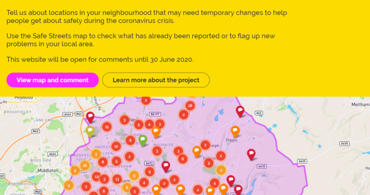
Oldham Council has opened an engagement map to find out from participants where they need to install emergency COVID-19 safety measures in the borough.
The map, which is hosted for free by the public engagement company Commonplace, requests comments from people who live or work in Oldham in order to assist with its #SafeStreetsSaveLives plans.
The aim is to ensure safe distancing for people walking and cycling, while preventing the build-up of motor vehicle traffic in the borough, which would lead to a reversal of the healthy streets benefits experienced during lockdown. In the context of only 10% capacity limits on public transport, a reliance on cars would lead to major congestion issues and even worse air and noise pollution than before lockdown.
Oldham joins five other Greater Manchester councils that have launched Commonplace maps in recent weeks. At the time of writing, Stockport’s consultation period has ended in order to collate data and press ahead with installing physical interventions identified as necessary across the borough. All the links are below:
Oldham: https://safestreetsoldham.commonplace.is/
Trafford: https://safestreetstrafford.commonplace.is/
Bolton: https://safestreetsbolton.commonplace.is/
Bury: https://safestreetsbury.commonplace.is/
Salford: https://salfordliveablestreets.commonplace.is/
Stockport: https://safestreetsstockport.commonplace.is/
The Oldham Council COVID-19 engagement map remains open for comments until 30 June 2020.
2 replies on “Oldham becomes the sixth GM council to launch commonplace engagement map”
You have recently issued a questionnaire asking residents about how cycling provision can be improved in the borough. The document does not seem to enable us to make any free-text comments and the questions do not really address the issues faced by us here in Saddleworth. Hence I will make my remarks here.
1. The new Saddleworth School really must be connected to the various villages by bike routes that pupils can use daily. The bridleway (old railway), with some upgrading and a new bridge in Uppermill would enable Greenfield pupils to reach the current school site in Uppermill. A new path is then needed to the new school site. A short dedicated route would serve Diggle. A Quiet Lane designation for Dobcross would help that village. A modified Delph Donkey route could serve there too. Please investigate this seriously, for the health of future generations of children.
2. NO new housing developments should be agreed without provision of cycle routes to the nearest shops, school, playing fields.
3. All the main roads in Saddleworth are too narrow and too busy to offer any form of safe cycle provision. Painted lines on roads would be useless and very dangerous. Please do not do this.
4. Apart from the bridleway (above) the only other option to provide fast cycle routes is to upgrade the canal towpath, so linking Diggle, Uppermill, Greenfield and Mossley.
5. If there is any ambition to connect Saddleworth to Oldham by bike, then the obvious thing to do is reopen Lydgate tunnel, with traffic-free access to both localities, otherwise it will be little used.
Hi David,
Thanks for getting in touch.
We are helping to promote the Oldham COVID-19 engagement map, but our involvement is limited to that role for this borough. I would recommend dropping the pin on the map at the nearest appropriate location for a few of your points (potentially #1, #3, #4 and #5) – there is the option to add ‘any additional comments’, so you can elaborate there. However, the questionnaire is primarily focused on short-term, temporary interventions related to providing safe distancing in the context of the pandemic. I will also forward your points on to the Highways team for their attention.
Ian